Long before the Inca carved their roads into the Andes and built the terraces that would one day make Machu Picchu famous, two other empires had already risen, ruled, and collapsed — leaving behind hundreds of buried sites that modern archaeology has barely begun to map. Now, an AI-powered platform and a two-university research partnership are poised to change that, reading the ruined landscapes of three ancient Andean empires at a scale that would have been unimaginable just a generation ago.
Two Forgotten Empires: Wari and Tiwanaku
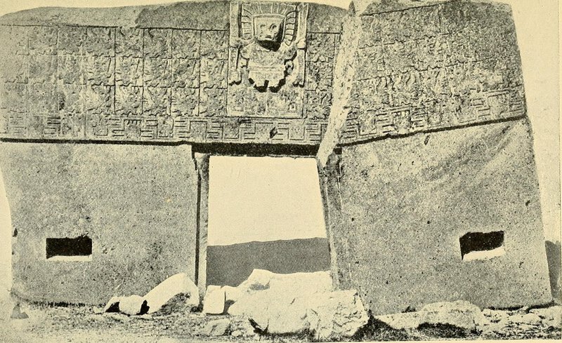
Picture the Andean highlands roughly fifteen centuries ago: two powers simultaneously carving out imperial territories across some of the most forbidding terrain on earth. The Wari, based in what is now central Peru, and the Tiwanaku, anchored near the windswept shores of Lake Titicaca in modern Bolivia, were building monumental architecture, administering far-flung populations, and laying down road systems and ritual centers across hundreds of miles of highland and coastal landscape. These were not small chiefdoms or regional cultures — they were empires in every meaningful sense of the word.
The story of ancient Andean civilizations did not begin with the Inca, even if popular history has long treated it that way. The Wari and Tiwanaku together represent a deep pre-Inca chapter that archaeology is only now beginning to read at continental scale — and their rise is the earliest period the new AI project sets out to reconstruct.
Collapse, Silence, and the Problem of a Landscape Without Writing
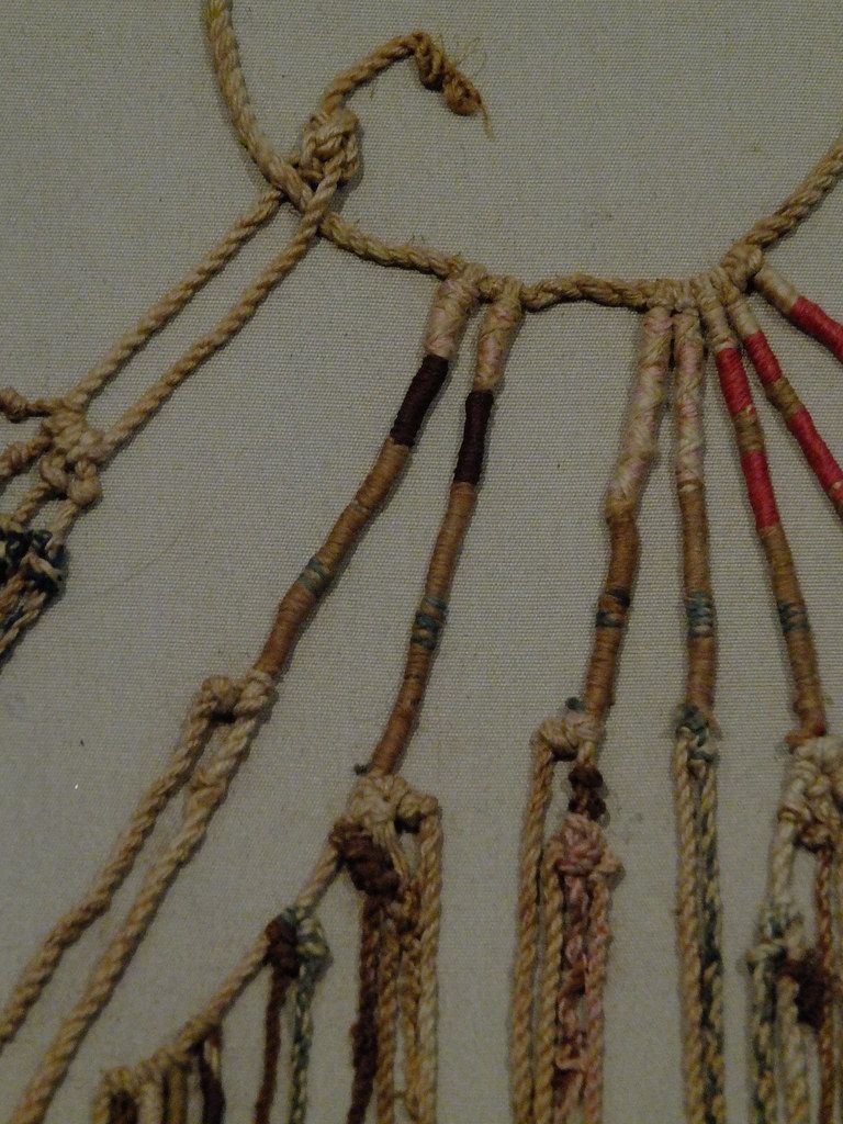
Over roughly the same centuries, both empires came apart. The Wari fragmented; the Tiwanaku state dissolved. Administrative centers were abandoned. Temples fell quiet. Road networks that had once moved armies and goods across the highlands slowly disappeared beneath soil and vegetation. Because neither civilization left behind a writing system, the physical landscape itself became the only archive — and time was not kind to it.
By the time the Inca began their own imperial expansion in earnest in the 15th century, much of this earlier infrastructure was already invisible. When European chroniclers arrived a century later, they found almost no trace of what had come before — a gap that makes the case for remote sensing and AI-assisted survey in Andean archaeology especially compelling today.
How the Inca Overshadowed Everything Before Them
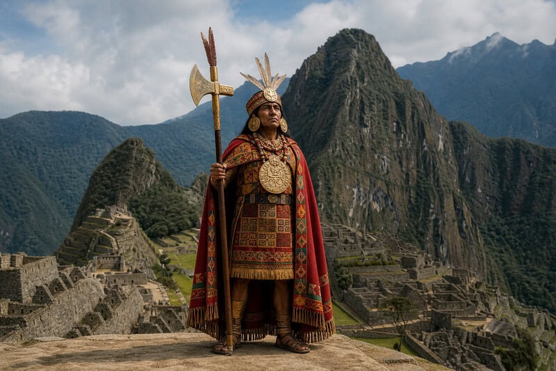
When Spanish conquistadors swept into the Andes in the 1530s, they encountered the Inca at the height of their power — a civilization so vast and so visually dramatic that it consumed nearly all of the attention European writers, and later archaeologists, would direct toward South America. The Wari and Tiwanaku were effectively demoted to footnotes, their ruins misidentified, understudied, or stripped by looters before systematic fieldwork could reach them. Centuries of Inca-centric scholarship followed, leaving a profound imbalance in what the world knows about South America’s deeper imperial past.
That imbalance is precisely the gap the “Scaling Archaeological Vision” project is designed to close. For the first time, a large-scale, data-driven investigation would treat the Wari, Tiwanaku, and Inca as co-equal subjects — three successive empires deserving the same rigorous, continental-scale scrutiny.
The Digital Turn at Brown University

Years before any formal grant announcement, the intellectual groundwork was already being laid in Providence, Rhode Island. By early 2020, researchers at Brown University were building frameworks for digital and data-driven archaeology focused on pre-colonial Andean civilizations, establishing the university as an institutional home for technology-forward fieldwork in South America. The argument being developed was straightforward but consequential: big-data methods could yield discoveries that site-by-site excavation could never achieve alone.
Parker VanValkenburgh, a Brown archaeologist whose research applies archaeological methods to anthropological questions in Andean Peru, was among the scholars driving this computational turn. His early investment in those methods would position him, years later, at the center of one of the most ambitious AI archaeology projects South America had ever seen.
GeoPACHA-AI: Reading Empires From Orbit
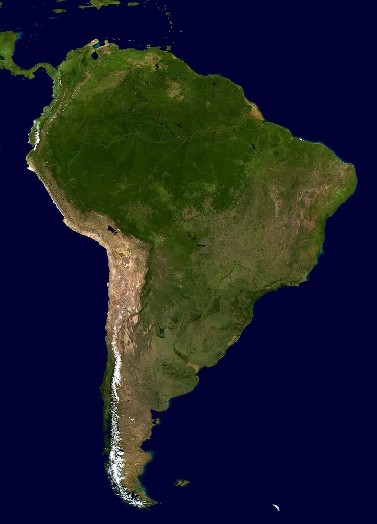
Before any grant was formally announced, VanValkenburgh was already presenting the tool that would make the project possible. In a seminar titled “South American Archaeology, at Scale?: Conducting Macro-Regional Survey with GeoPACHA-AI,” he laid out a platform designed to scan satellite and aerial imagery of the Andean landscape at macro-regional scale, automatically flagging potential archaeological features — roads, administrative compounds, raised platforms — that human analysts working alone might take decades to identify manually. The platform’s name nods to GeoPACHA, an earlier crowd-sourced satellite-image review effort in the Andes; the AI iteration is its faster, vastly more powerful successor.
GeoPACHA-AI represents a genuine methodological leap for computational archaeology in South America. Rather than supporting excavation at a known site, it was built to find unknown sites — to surface the buried skeleton of vanished empires from orbit and hand archaeologists a map they have never had before.
Vanderbilt’s Steven Wernke and the Anchor Grant
On October 30, 2026, the project gained its formal institutional footing. Vanderbilt University anthropologist Steven Wernke was awarded a grant of $734,574 to support “Scaling Archaeological Vision: Imperial Landscapes of the Andes through AI-Assisted Survey.” Wernke, a specialist in Andean colonial and pre-colonial landscapes, would serve as co-lead alongside VanValkenburgh, giving the project a two-university spine stretching from Nashville to Providence.
The grant formalized a partnership built through years of shared methodological interest in remote sensing and landscape-scale survey. It also gave the project a precise mandate: map three empires, at continental scale, using machine vision.
Schmidt Sciences and the HAVI Initiative
The Vanderbilt award was one piece of a much larger funding picture. In 2026, Schmidt Sciences announced approximately $10 million through its Human-AI Vision Initiative — HAVI — spread across multiple projects pairing AI tools with humanistic and scientific inquiry. The Andean empires project was selected as one of HAVI’s awards, a signal that AI-assisted archaeology had matured from a promising experiment into something the world’s leading science philanthropies were willing to fund seriously.
The stated goal of Schmidt Sciences’ investment was not modest: to help archaeologists produce a comprehensive record of imperial architecture across the Andean landscape, covering all three successive empires at a scale no previous project in the field had ever attempted.
Brown University Makes It Official: VanValkenburgh as Co-Lead
Three days after the Vanderbilt announcement, Brown University formally announced that Parker VanValkenburgh would co-lead the initiative, cementing Brown’s place alongside Vanderbilt at the center of the effort. The announcement was notable not only for the technology it described but for its explicit framing: the Wari and Tiwanaku were named alongside the Inca as co-equal subjects of large-scale, systematic AI survey — arguably the first time a funded project had made that claim so plainly and at this scope.
For archaeologists accustomed to painstakingly excavating single sites across multiple field seasons, the project described something almost vertiginous: instead of digging down into one patch of Andean earth, the team would look across millions of square kilometers of terrain, processed through machine vision in a fraction of the time any human team could manage.
What the Project Ultimately Promises
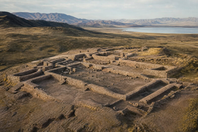
What “Scaling Archaeological Vision” ultimately promises is something that has never existed in the history of Andean archaeology: a comprehensive spatial inventory of Wari, Tiwanaku, and Inca imperial infrastructure — every detectable road segment, administrative compound, and ritual platform across Peru, Bolivia, and neighboring Andean regions, flagged by GeoPACHA-AI and verified by human experts. Each data point would contribute to a larger model of how each empire organized space, moved people, and projected power across some of the world’s most challenging terrain — questions that ground-level excavation alone, no matter how patient or meticulous, could never answer at this scale.
Two civilizations long overshadowed by the Inca will finally receive the continental-scale examination they have long deserved, reconstructed not in stone or knotted quipu cord, but through the careful collaboration of human expertise and machine vision working together across the ruins of a world that history almost forgot.
The story of the ancient Andean empires is far older and far richer than the Inca alone — and for the first time, the tools exist to begin telling it in full.